To the west of the Gers, in Armagnac and d'Artagnan territory, discover the small heritage of Caupenne d'Armagnac: church, wash houses, lake... accessible on foot and mountain bike.
Route details
Description
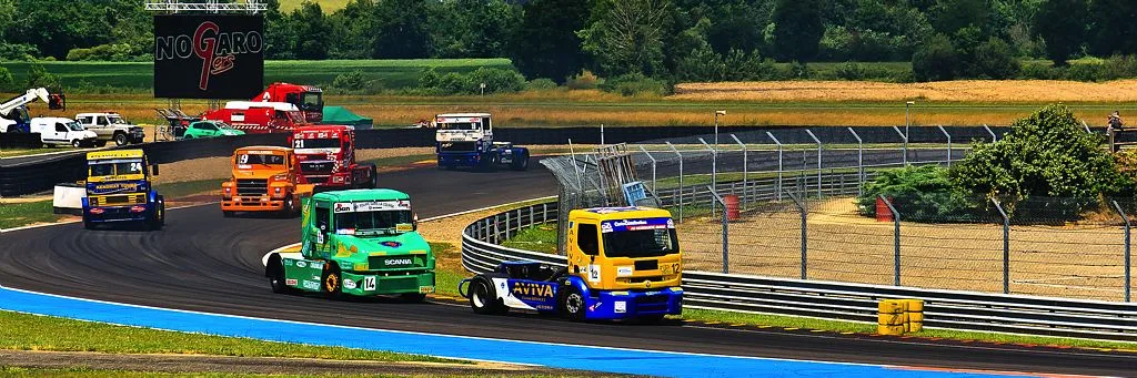
In Caupenne d'Armagnac, in the north-west of the Gers, you will discover a potter in the village, the church ofEspagnet, the typical village of Salles d'Armagnac and the Nogaro racing circuit.
1 – go down to the right of the church via the small steep road, pass near a wash house and continue straight on for 800m (a nature reserve on the right).
2 – at the crossroads turn left onto the stony path for 850m, pass an intersection and arrive at the second crossroads.
*on the right 500m the church ofEspagnet
3 – turn left, then follow the road to the right, after a house, turn left onto the grassy path at the edge of the woods (palombière, silence). Take the road on the right then the path on the left, it becomes steep, cut the D147 and continue opposite.
4 – after the house with the orange plaster, take the stony path on the left and reach the agricultural buildings.
5 – take the dirt road on the right, cross the ford, at the crossroads, go left through a poplar grove and continue on the stony path, take the road on the right, cross the bridge, continue to cross the “Midour » to arrive at an old mill.
6 – take the path on the left and come out on a road
*on the right 1km the village of Salles d’Armagnac
7 – turn left then the white path on the left and reach a poplar grove.
8 – turn left into the plantation and continue along the grassy path alongside the poplar trees.
At the end of the plantation, cross the concrete footbridge and continue on the dirt road which leads to the “Janborde” farm.
9 – take the road on the right, take the D147 on the left and go up to reach the starting point.
Linked offers
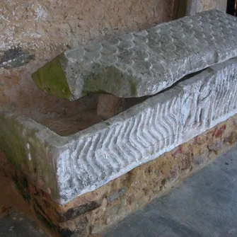
Historic site and monument