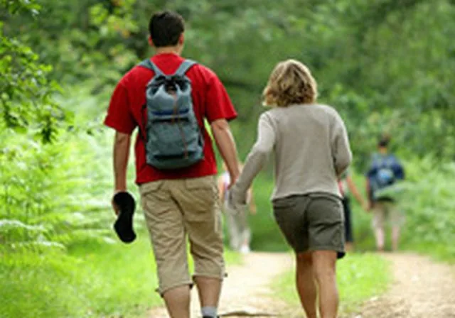
This 15 km hike in the surroundings of Manciet, accessible to all, offers you views of the Gers countryside but also the Pyrenees which will make you feel free and peaceful.
Tips for the photographer
very beautiful view of the Pyrenees mountain range
Route details
Alert
Yellow markup
Description
Following a line of gentle hills, this 15 km loop reveals views of the Gers countryside and also the Pyrenees.
1 – From the Café des Sports “chez Ernesto”, follow the road towards Espas for 1 km, then turn left into the Bérouite alley and pass the farm
2 – After the climb, turn left on the path towards the farm. Pass behind the house and follow the vineyards for 1km500. At the end, go left into a grove, continue straight along the path. At the exit of the woods, continue on the path between the vineyards, then head left towards the Toulouzette farm. Follow the N124 on the right for 150 m (be careful!!)
3 – take the stone path of Béret on the left, then continue on the path on the left to arrive at an intersection.
4 – go straight, turn left and cross a bridge over the old railway line then continue the path across fields. Cross the D 931 and go up opposite on the small roads towards Domaine du Passage. At the bend, take the dirt road. Go to the blue water tower and take the stony path on the left (Chemin de Coudouy). Pass in front of an abandoned house, continue across fields.
5 – At the crossroads, head right and take Chemin Peyret and leave the Chemin de Saint Jacques de Compostelle (GR65) on your left.
6 – after the hedge, turn left and continue along the road to Sauboires. Before the sawmill go left, pass the Sauboires stopover lodge. After the gîte and the foyer turn left then immediately right.
7 – Take the small road on the right. It turns left and continues south for 4,5 km.
8 – Take the D 122 on the right to reach the village. Pass in front of the Arena and reach the starting point opposite… well done, you have arrived.