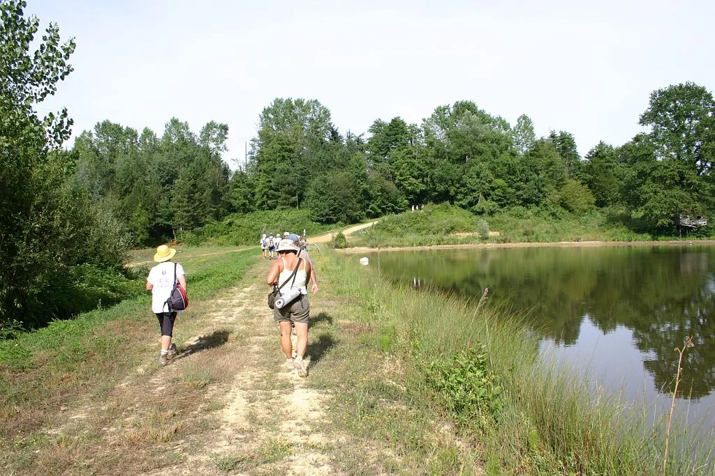
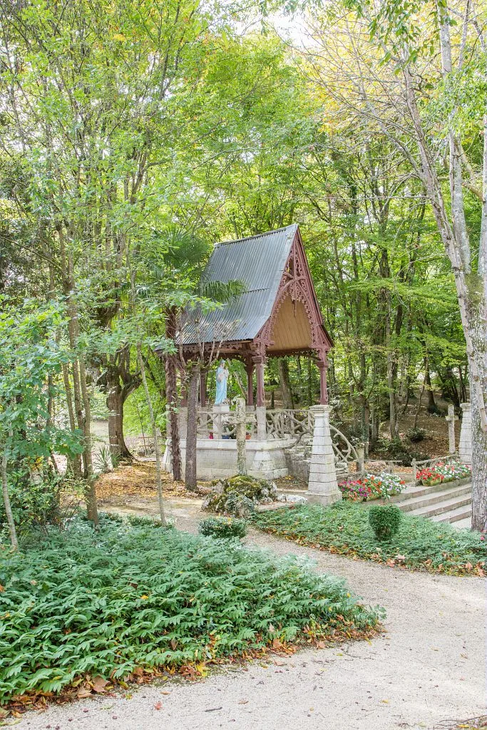
To the west of Gers, in Armagnac and d'Artagnan territory, this circuit punctuated with viewpoints over Gondrin, allows the discovery of sites nestled in nature, such as the chapel of Saint-André or the chapel of Tonneteau.
Route details
Description
1- Go along the tennis courts on the right and continue straight on rue Jean-Ducasse. Go left then right. After the pine trees, turn left onto the path which runs alongside the plantation on the right. At the end turn left and pass along the edge of the vineyards. Continue along the road for 400 m. She turns left and reaches a crossroads.
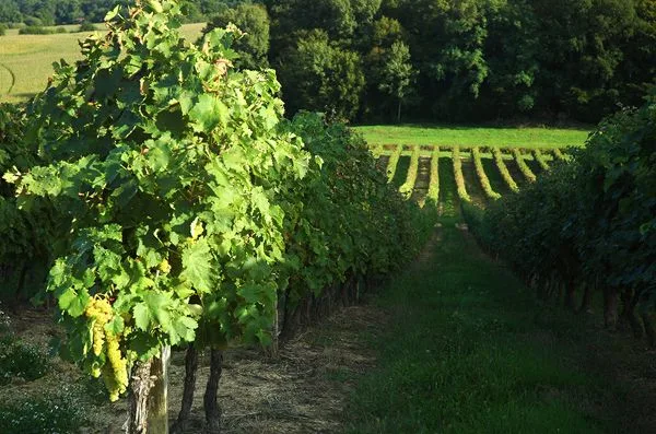
2- Take the stony path on the right towards the “Jouéou” farm. At the buildings, turn right towards “Las Mariès”. Leave the farm on the left and continue on the tarmac path to arrive on a municipal road (on the right the Guillaman wine estate). Turn left. After 500m, go down to the left along a vineyard, then go up for 750m to reach a small road. Take it on the left for 200m.
3- Go down to the right towards Las Coustètes. 500m further on, at the bend, leave the stone path to continue straight along a meadow. The path winds between the hedges. Cross the Lasdouts stream and go up to the left, below the Sentets farm, towards a municipal road. At the top, turn left.
4- Go down the mining road to the right, then go up towards the chapel of Saint-André. Go around the building to come out on a municipal road and take it on the left for 1,2 km.
5- Turn left into an avenue of vines. At the end, turn right into another avenue of vines and come out on a path parallel to an old railway line. Turn left and continue straight for 800m.
6- Return to the right on the platform of the old railway line. After 2 km, turn left towards the Tonneteau chapel. Enter the site and leave the place via a small road.
7- At the intersection, turn right, pass the arbor, walk along the cemetery, turn right, then follow rue de l'Égalité on the left. Climb the steep slope opposite, take the street on the right. From the Place du Monument aux Morts, reach the car park